2021
NH6257 : The Military Road, Black Isle
taken 3 years ago, near to Knockbain, Highland, Scotland
This is 1 of 4 images, with title starting with The Military in this square
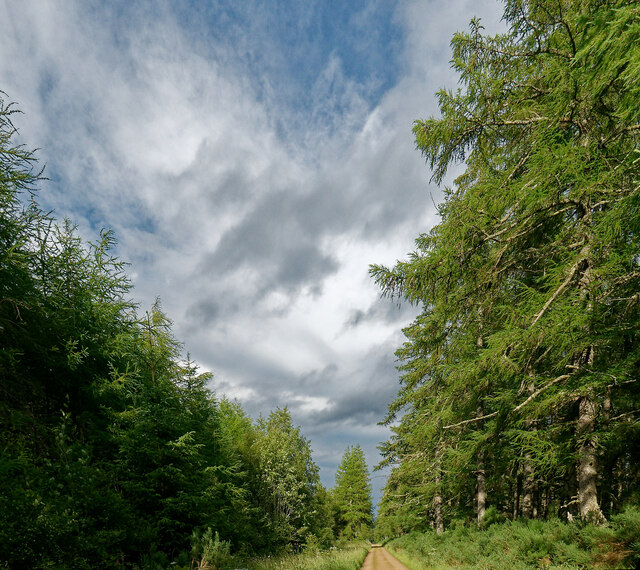
The Military Road, Black Isle
With just a few bends this is a very straight track that crosses many miles of forest in the Black Isle. It is not a public road.
 Map © Crown Copyright")
TIP: Click the map for more Large scale mapping
- Grid Square
- NH6257, 90 images (more nearby 🔍)
- Photographer
- Julian Paren (more nearby)
- Date Taken
- Saturday, 17 July, 2021 (more nearby)
- Submitted
- Saturday, 17 July, 2021
- Subject Location
-
OSGB36:
 NH 6213 5741 [10m precision]
WGS84: 57:35.1368N 4:18.4644W - Camera Location
-
OSGB36: NH 6208 5738
- View Direction
- East-northeast (about 67 degrees)