H8637 : Old Corn Mill at Tassagh
taken 3 years ago, 4 km NNE of Keady, Co Armagh, Northern Ireland
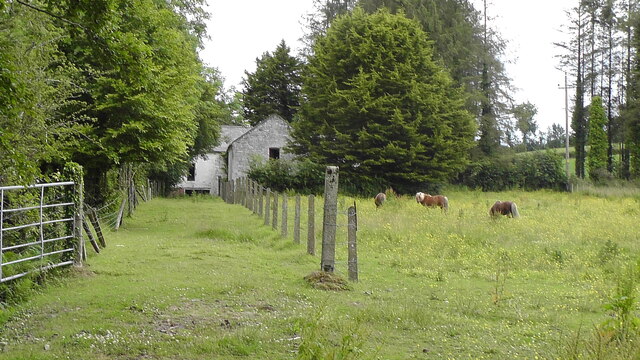
Old Corn Mill at Tassagh
This is just south of the lane leading behind Tassagh Old Graveyard.
![Creative Commons Licence [Some Rights Reserved]](https://s1.geograph.org.uk/img/somerights20.gif)
|
· Find out How to reuse this image ·
Share:
|
|||||
| Start a discussion on H8637 | Suggest an update to this image | Contact the contributor | |||
Loading map... (JavaScript required)
- Grid Square
- H8637, 12 images (more nearby
 )
)
- Photographer
- Sean Davis (find more nearby)
- Date Taken
- Tuesday, 6 July, 2021 (more nearby)
- Submitted
- Wednesday, 21 July, 2021
- Geographical Context
- Primary Subject of Photo
- Subject Location
-
Irish:
 H 86549 37552 [1m precision]
WGS84: 54:16.7686N 6:40.3204W - Camera Location
-
Irish: H 86501 37646
- View Direction
- South-southeast (about 157 degrees)
This page has been viewed about 32 times.
View this location:
KML (Google Earth) ·
Google Maps ·
Bing Maps ·
Geograph Coverage Map ·
More Links for this image
·
Bing Maps ·
Geograph Coverage Map ·
More Links for this image