H8438 : Farm Lane and Cattle
taken 3 years ago, 4 km E of Belcoo, Co Armagh, Northern Ireland
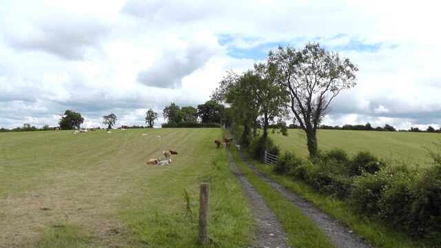
Farm Lane and Cattle
Old farm lane and cattle at Monequin Townland, County Armagh. The lane leads to a derelict farmhouse and orchard.
![Creative Commons Licence [Some Rights Reserved]](https://s1.geograph.org.uk/img/somerights20.gif)
|
· Find out How to reuse this image ·
Share:
|
|||||
| Start a discussion on H8438 | Suggest an update to this image | Contact the contributor | |||
Loading map... (JavaScript required)
- Grid Square
- H8438, 3 images (more nearby
 )
)
- Photographer
- Sean Davis (find more nearby)
- Date Taken
- Tuesday, 6 July, 2021 (more nearby)
- Submitted
- Thursday, 22 July, 2021
- Geographical Context
- Primary Subject of Photo
- Subject Location
-
Irish:
 H 84916 38932 [1m precision]
WGS84: 54:17.5287N 6:41.8007W - Camera Location
-
Irish: H 84829 38906
- View Direction
- East-northeast (about 67 degrees)
This page has been viewed about 35 times.
View this location:
KML (Google Earth) ·
Google Maps ·
Bing Maps ·
Geograph Coverage Map ·
More Links for this image
·
Bing Maps ·
Geograph Coverage Map ·
More Links for this image