2021
NT0609 : Hill track
taken 3 years ago, near to Ericstane, Dumfries And Galloway, Scotland
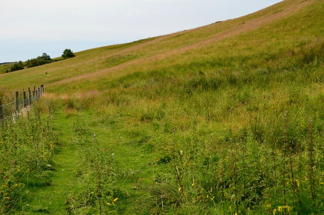
Hill track
The track up from Meikleholmside farm, gaining height on the western side of the valley.
 Map © Crown Copyright")
TIP: Click the map for more Large scale mapping
- Grid Square
- NT0609, 15 images (more nearby 🔍)
- Photographer
- Jim Barton (more nearby)
- Date Taken
- Monday, 19 July, 2021 (more nearby)
- Submitted
- Monday, 26 July, 2021
- Subject Location
-
OSGB36:
 NT 0697 0990 [10m precision]
WGS84: 55:22.4542N 3:28.1740W - Camera Location
-
OSGB36: NT 0697 0997
- View Direction
- SOUTH (about 180 degrees)