2021
TQ6641 : High Weald Landscape Trail
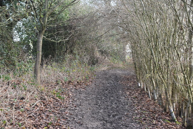
taken 3 years ago, near to Matfield, Kent, England
This is 1 of 15 images, with title High Weald Landscape Trail in this square
High Weald Landscape Trail
The High Weald Landscape Trail (HWLT) is a 90 mile route between Horsham, West Sussex and Rye, East Sussex, designed to pass through the main landscape types of the High Weald Area of Outstanding Natural Beauty (AONB). It does not follow the highest ground, and the eastern section is only a few feet above sea level. It keeps to the northern edge of the High Weald except in the west where it runs close to the southern edge for a short distance.
It is a trail of regional importance supported by the High Weald Forum and local authorities in East and West Sussex, and Kent. The route is well signposted. It follows public rights of way and roads with the occasional permissive path.
The geology is alternating sandstones and clays, and the latter can be very muddy in wet conditions so boots are a must except in very dry weather. Some sections become very overgrown in summer with nettles and brambles.
See other images of High Weald Landscape Trail (HWLT)
 Map © Crown Copyright")
TIP: Click the map for more Large scale mapping
- Grid Square
- TQ6641, 228 images (more nearby 🔍)
- Photographer
- N Chadwick (more nearby)
- Date Taken
- Friday, 8 January, 2021 (more nearby)
- Submitted
- Tuesday, 27 July, 2021
- Subject Location
-
OSGB36:
 TQ 6644 4173 [10m precision]
WGS84: 51:9.0378N 0:22.7026E - Camera Location
-
OSGB36: TQ 6639 4173
- View Direction
- EAST (about 90 degrees)