2021
NR7320 : Footpath by Campbeltown Loch, Argyll
taken 3 years ago, near to Campbeltown, Argyll And Bute, Scotland
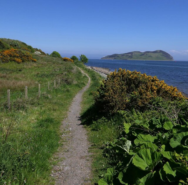
Footpath by Campbeltown Loch, Argyll
Looking towards Island Davaar.
A distinct footpath runs between Trench Point and a picnic table near Black Rock. A less defined path can followed beyond to Macringan's Point.
A distinct footpath runs between Trench Point and a picnic table near Black Rock. A less defined path can followed beyond to Macringan's Point.
 Map © Crown Copyright")
TIP: Click the map for more Large scale mapping
- Grid Square
- NR7320, 25 images (more nearby 🔍)
- Photographer
- Claire Pegrum (more nearby)
- Date Taken
- Sunday, 30 May, 2021 (more nearby)
- Submitted
- Wednesday, 28 July, 2021
- Subject Location
-
OSGB36:
 NR 73617 20526 [1m precision]
WGS84: 55:25.5706N 5:34.7557W - Camera Location
-
OSGB36: NR 73617 20526
- View Direction
- EAST (about 90 degrees)