2021
NY0695 : Annandale Way, Kinnelholm Rig
taken 3 years ago, near to Lochwood, Dumfries And Galloway, Scotland
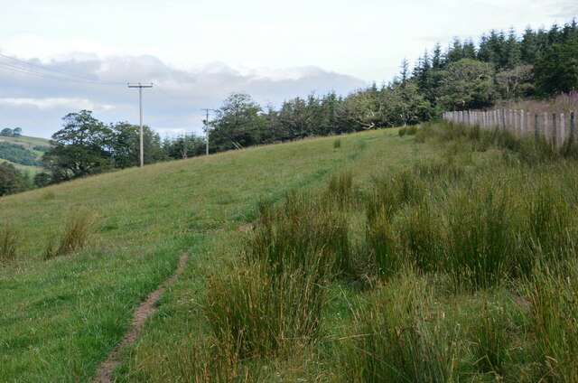
Annandale Way, Kinnelholm Rig
Path through estate land on the west side of the A701.
Annandale Way
The Annandale Way connects the source of the River Annan near the Devil's Beef Tub above Moffat with the estuary at the Solway Firth. The distance is 56 miles (90km) via Lochmaben or 53 miles (85km) via Lockerbie. It was officially opened on 12 September 2009, supported by the Heritage Lottery Fund, Scottish Natural Heritage and Dumfries and Galloway Council. The route is waymarked for walkers in either direction and can be walked conveniently on a 5-day schedule.
 Map © Crown Copyright")
TIP: Click the map for more Large scale mapping
- Grid Square
- NY0695, 4 images (more nearby 🔍)
- Photographer
- Jim Barton (more nearby)
- Date Taken
- Sunday, 18 July, 2021 (more nearby)
- Submitted
- Wednesday, 28 July, 2021
- Subject Location
-
OSGB36:
 NY 0683 9557 [10m precision]
WGS84: 55:14.7293N 3:28.0209W - Camera Location
-
OSGB36: NY 0684 9552
- View Direction
- North-northwest (about 337 degrees)