2021
TQ1649 : Archway Place
taken 3 years ago, near to Dorking, Surrey, England
This is 1 of 2 images, with title Archway Place in this square
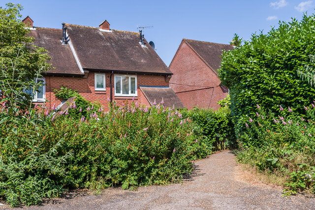
Archway Place
Late 20th Century development off St Martin's Walk car park.
 Map © Crown Copyright")
TIP: Click the map for more Large scale mapping
- Grid Square
- TQ1649, 805 images (more nearby 🔍)
- Photographer
- Ian Capper (more nearby)
- Date Taken
- Thursday, 22 July, 2021 (more nearby)
- Submitted
- Wednesday, 28 July, 2021
- Subject Location
-
OSGB36:
 TQ 164 495 [100m precision]
WGS84: 51:13.9901N 0:20.0229W - Camera Location
-
OSGB36: TQ 164 495
- View Direction
- North-northeast (about 22 degrees)