2021
NT0162 : Site of Former Pond
taken 3 years ago, near to West Calder, West Lothian, Scotland
Site of Former Pond
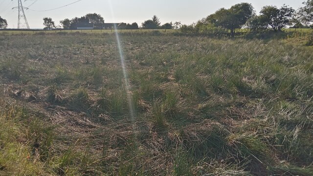
This small marshy area, roughly halfway between the farms of Harwood and Westmuir, is shown as being fenced off on current maps, but the Southern fence is no longer here - presumably things are drying out a bit and it has been decided that the livestock can cope with the ground if they stray from the grass.
On the first 1850s map of West Calder Westmuir Tile Works is shown just to the right of here, where a narrow strip of trees now grows. The pond doesn't appear until the next map, 40-odd years later. By this time there is no sign of the tile works, so it seems likely that the pond formed due to rainwater filling up a former clay pit or similar, used for materials by the tile works.
The OS describe the tile works as being small, but having a house attached, in their notes compiled when drawing up their first maps.
 Map © Crown Copyright")
TIP: Click the map for more Large scale mapping
- Grid Square
- NT0162, 24 images (more nearby 🔍)
- Photographer
- Ian Dodds (more nearby)
- Date Taken
- Sunday, 25 July, 2021 (more nearby)
- Submitted
- Wednesday, 28 July, 2021
- Subject Location
-
OSGB36:
 NT 0169 6220 [10m precision]
WGS84: 55:50.5777N 3:34.2919W - Camera Location
-
OSGB36: NT 0169 6220
- View Direction
- Northwest (about 315 degrees)