2020
TF6825 : Small weir on Babingley River
taken 3 years ago, near to West Newton, Norfolk, England
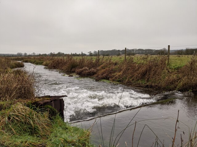
Small weir on Babingley River
Once one of many weirs on the Babingley, this is one of the few that can be accessed properly and remains to this day. The structure appears to be metal on either side - many similar to it have been taken out in recent years for rewilding.
 Map © Crown Copyright")
TIP: Click the map for more Large scale mapping
- Grid Square
- TF6825, 5 images (more nearby 🔍)
- Photographer
- Carl Bramham (more nearby)
- Date Taken
- Tuesday, 29 December, 2020 (more nearby)
- Submitted
- Thursday, 29 July, 2021
- Subject Location
-
OSGB36:
 TF 6873 2535 [10m precision]
WGS84: 52:47.9592N 0:30.0796E - Camera Location
-
OSGB36: TF 6873 2535
- View Direction
- WEST (about 270 degrees)