2021
NT2340 : Pebbled Edge of River Tweed
taken 3 years ago, near to Peebles, Scottish Borders, Scotland
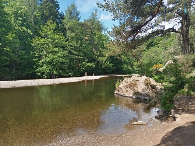
Pebbled Edge of River Tweed
According to various websites the River Tweed is the UK's 9th, 10th and 12th longest river. The discrepancies arise due to there being no consensus on how exactly to record a river's length.
The problems arise at each end. Sometimes measuring begins at the point of the earliest tributary high in the hills, whereas other times people take the start as being the earliest point at which it goes by its river name. Similarly, the point at which a river becomes an estuary is a matter for debate.
All three lists do agree that the Tweed is 96 miles long though, meaning that it must be other rivers whose lengths cannot be agreed upon.
 Map © Crown Copyright")
TIP: Click the map for more Large scale mapping
- Grid Square
- NT2340, 278 images (more nearby 🔍)
- Photographer
- Ian Dodds (more nearby)
- Date Taken
- Sunday, 27 June, 2021 (more nearby)
- Submitted
- Thursday, 29 July, 2021
- Subject Location
-
OSGB36:
 NT 2397 4043 [10m precision]
WGS84: 55:39.0858N 3:12.5859W - Camera Location
-
OSGB36: NT 2397 4043
- View Direction
- West-southwest (about 247 degrees)