2014
SJ8762 : Macclesfield Canal near Congleton, Cheshire
taken 10 years ago, near to Hightown, Cheshire East, England
This is 1 of 3 images, with title Macclesfield Canal near Congleton, Cheshire in this square
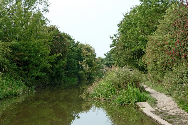
Macclesfield Canal near Congleton, Cheshire
Looking west-south-west approaching Hightown.
The Macclesfield Canal
The Macclesfield Canal is just over 27 miles in length, and has thirteen locks, including the stop lock at Hall Green and the other twelve at Bosley. The canal was surveyed by Thomas Telford in 1825, then engineered by William Crosley, and opened on 9 November 1831 at a cost of £320,000. It joins the Trent and Mersey Canal at Hall Green to the Peak Forest Canal at Marple.
 Map © Crown Copyright")
TIP: Click the map for more Large scale mapping
- Grid Square
- SJ8762, 119 images (more nearby 🔍)
- Photographer
- Roger D Kidd (more nearby)
- Date Taken
- Tuesday, 9 September, 2014 (more nearby)
- Submitted
- Tuesday, 3 August, 2021
- Subject Location
-
OSGB36:
 SJ 8785 6232 [10m precision]
WGS84: 53:9.4721N 2:10.9895W - Camera Location
-
OSGB36: SJ 8792 6234
- View Direction
- West-southwest (about 247 degrees)