2021
SP3651 : Chadshunt-Watery Lane
taken 3 years ago, near to Chadshunt, Warwickshire, England
Chadshunt-Watery Lane
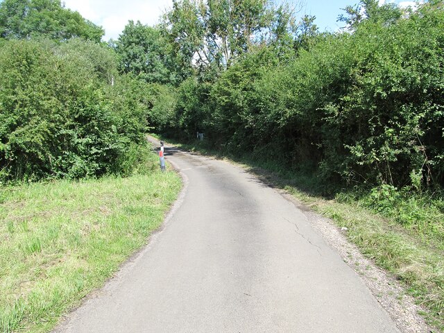
The road close to the entrance to Boundary Farm.
 Map © Crown Copyright")
TIP: Click the map for more Large scale mapping
- Grid Square
- SP3651, 6 images (more nearby 🔍)
- Photographer
- Ian Rob (more nearby)
- Date Taken
- Wednesday, 4 August, 2021 (more nearby)
- Submitted
- Friday, 6 August, 2021
- Subject Location
-
OSGB36:
 SP 3601 5159 [10m precision]
WGS84: 52:9.6848N 1:28.4996W - Camera Location
-
OSGB36: SP 3602 5157
- View Direction
- North-northwest (about 337 degrees)