2021
NC9435 : Burn NW of Cnoc Maol-dhùin
taken 3 years ago, near to Fèith Gaineimh Bheag [water Feature], Highland, Great Britain
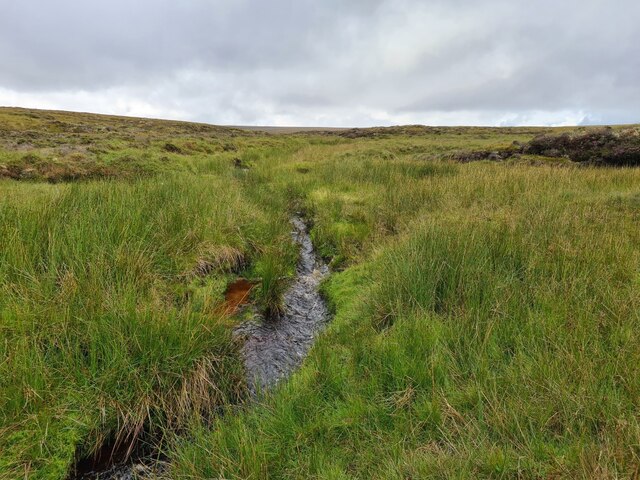
Burn NW of Cnoc Maol-dhùin
Draining off Knockfin Heights. The burn was flowing well after the recent rain.
 Map © Crown Copyright")
TIP: Click the map for more Large scale mapping
- Grid Square
- NC9435, 2 images (more nearby 🔍)
- Photographer
- Thomas Byrd (more nearby)
- Date Taken
- Saturday, 7 August, 2021 (more nearby)
- Submitted
- Sunday, 8 August, 2021
- Subject Location
-
OSGB36:
 NC 9412 3580 [10m precision]
WGS84: 58:17.8797N 3:48.4841W - Camera Location
-
OSGB36: NC 94139 35830
- View Direction
- South-southwest (about 202 degrees)