2021
NC9823 : Tributary of the Craggan Burn
taken 3 years ago, near to Creag Scalabsdale [hill or Mountain], Highland, Great Britain
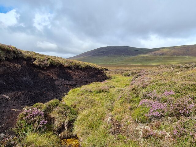
Tributary of the Craggan Burn
The burns here were mostly underground. Creag Scalabsdale in the distance.
 Map © Crown Copyright")
TIP: Click the map for more Large scale mapping
- Grid Square
- NC9823, 4 images (more nearby 🔍)
- Photographer
- Thomas Byrd (more nearby)
- Date Taken
- Saturday, 14 August, 2021 (more nearby)
- Submitted
- Sunday, 15 August, 2021
- Subject Location
-
OSGB36:
 NC 9889 2358 [10m precision]
WGS84: 58:11.3650N 3:43.2844W - Camera Location
-
OSGB36: NC 98930 23576
- View Direction
- WEST (about 270 degrees)