H7292 : The Cavanreagh Road near Draperstown
taken 3 years ago, 5 km SSW of Moneyneany, Co Londonderry, Northern Ireland
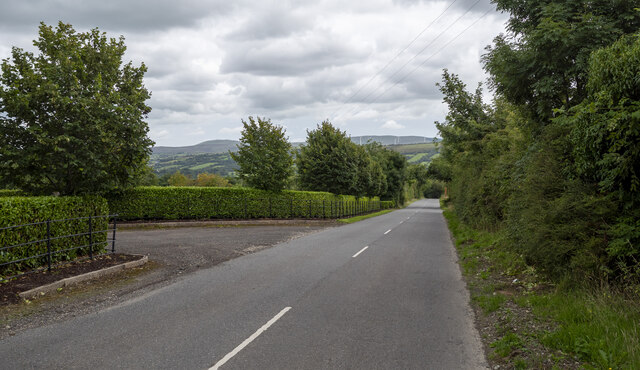
The Cavanreagh Road near Draperstown
The Cavanreagh Road (Glenelly Road on Google) a few miles south-west of Draperstown. The road rises steeply as it heads into the Sperrins.
![Creative Commons Licence [Some Rights Reserved]](https://s1.geograph.org.uk/img/somerights20.gif)
|
· Find out How to reuse this image ·
Share:
|
|||||
| Start a discussion on H7292 | Suggest an update to this image | Contact the contributor | |||
Loading map... (JavaScript required)
- Grid Square
- H7292, 3 images (more nearby
 )
)
- Photographer
- Rossographer (find more nearby)
- Date Taken
- Saturday, 14 August, 2021 (more nearby)
- Submitted
- Sunday, 15 August, 2021
- Geographical Context
- Primary Subject of Photo
- Subject Location
-
Irish:
 H 729 929 [100m precision]
WGS84: 54:46.7327N 6:52.0039W - Camera Location
-
Irish: H 729 929
- View Direction
- Southeast (about 135 degrees)
Other Tags
This page has been viewed about 39 times.
View this location:
KML (Google Earth) ·
Google Maps ·
Bing Maps ·
Geograph Coverage Map ·
More Links for this image
·
Bing Maps ·
Geograph Coverage Map ·
More Links for this image