2021
TQ4637 : Butchers Meadow
taken 3 years ago, near to Hartfield, East Sussex, England
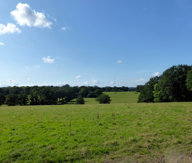
Butchers Meadow
The name of the field according to Hartfield's 1842 tithe map bounded by Butcherfield Lane to the south and the drive to Bassetts Farm to the east.
 Map © Crown Copyright")
TIP: Click the map for more Large scale mapping
- Grid Square
- TQ4637, 70 images (more nearby 🔍)
- Photographer
- Simon Carey (more nearby)
- Date Taken
- Tuesday, 24 August, 2021 (more nearby)
- Submitted
- Thursday, 26 August, 2021
- Subject Location
-
OSGB36:
 TQ 4647 3711 [10m precision]
WGS84: 51:6.8741N 0:5.4712E - Camera Location
-
OSGB36: TQ 4657 3704
- View Direction
- Northwest (about 315 degrees)