2021
TQ4636 : Tickeridge Field
taken 3 years ago, near to Hartfield, East Sussex, England
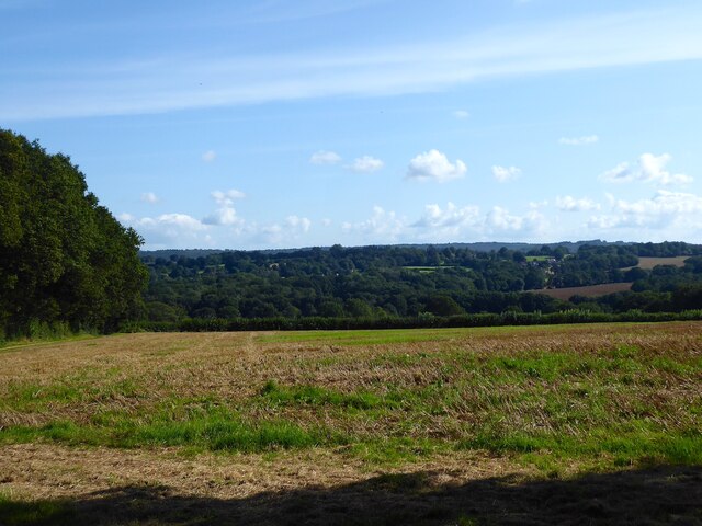
Tickeridge Field
The name of the field according to Hartfield's 1842 tithe map bounded by the drive to St Ives Farm to the north. Below is the Medway valley whilst the Ashdown Forest is visible on the horizon.
 Map © Crown Copyright")
TIP: Click the map for more Large scale mapping
- Grid Square
- TQ4636, 90 images (more nearby 🔍)
- Photographer
- Simon Carey (more nearby)
- Date Taken
- Tuesday, 24 August, 2021 (more nearby)
- Submitted
- Thursday, 26 August, 2021
- Subject Location
-
OSGB36:
 TQ 4693 3655 [10m precision]
WGS84: 51:6.5651N 0:5.8516E - Camera Location
-
OSGB36: TQ 4693 3668
- View Direction
- SOUTH (about 180 degrees)