2021
NZ1034 : Black Bank Plantation
taken 3 years ago, 3 km from Thornley, County Durham, England
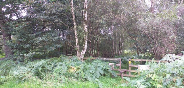
Black Bank Plantation
Track through Black Bank Plantation.
 Map © Crown Copyright")
TIP: Click the map for more Large scale mapping
- Grid Square
- NZ1034, 24 images (more nearby 🔍)
- Photographer
- Colin Kinnear (more nearby)
- Date Taken
- Thursday, 26 August, 2021 (more nearby)
- Submitted
- Sunday, 29 August, 2021
- Subject Location
-
OSGB36:
 NZ 106 347 [100m precision]
WGS84: 54:42.4648N 1:50.1555W - Camera Location
-
OSGB36: NZ 106 348
- View Direction
- Southeast (about 135 degrees)