2021
TQ5135 : Cherry Garden
taken 3 years ago, near to Withyham, East Sussex, England
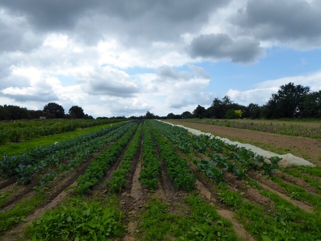
Cherry Garden
The name of the field according to Withyham's 1842 tithe map, but it has now been subdivided and is used for market gardening.
 Map © Crown Copyright")
TIP: Click the map for more Large scale mapping
- Grid Square
- TQ5135, 51 images (more nearby 🔍)
- Photographer
- Simon Carey (more nearby)
- Date Taken
- Sunday, 29 August, 2021 (more nearby)
- Submitted
- Monday, 30 August, 2021
- Subject Location
-
OSGB36:
 TQ 5153 3562 [10m precision]
WGS84: 51:5.9919N 0:9.7679E - Camera Location
-
OSGB36: TQ 5156 3566
- View Direction
- Southwest (about 225 degrees)