2021
SH6225 : Road to the Rhinogs?
taken 3 years ago, 3 km from Pentre Gwynfryn, Gwynedd, Wales
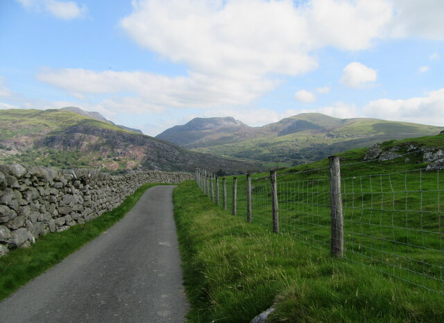
Road to the Rhinogs?
No. The motor road soon doubles back to Cwm Nantcol leaving footpaths only to reach the Rhinog ridge ahead.
 Map © Crown Copyright")
TIP: Click the map for more Large scale mapping
- Grid Square
- SH6225, 12 images (more nearby 🔍)
- Photographer
- John H Darch (more nearby)
- Date Taken
- Wednesday, 25 August, 2021 (more nearby)
- Submitted
- Wednesday, 1 September, 2021
- Subject Location
-
OSGB36:
 SH 6215 2584 [10m precision]
WGS84: 52:48.7459N 4:2.8035W - Camera Location
-
OSGB36: SH 6212 2585
- View Direction
- EAST (about 90 degrees)