2021
NC9836 : Tributary of the Saovie Burn
taken 3 years ago, near to The Glutt, Highland, Scotland
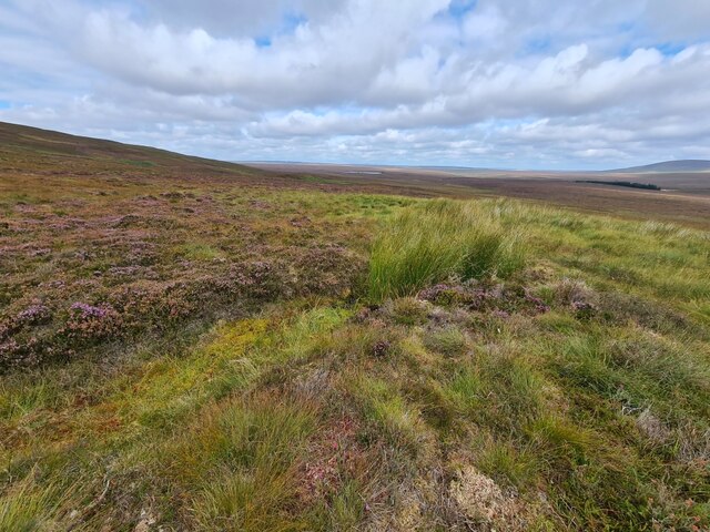
Tributary of the Saovie Burn
The burn flows down to the Glutt Water. In the distance are Glutt Loch and the trees behind Glutt Lodge. We saw no evidence here of the "danger area" marked on the OS 2021 map.
 Map © Crown Copyright")
TIP: Click the map for more Large scale mapping
- Grid Square
- NC9836, 3 images (more nearby 🔍)
- Photographer
- Thomas Byrd (more nearby)
- Date Taken
- Tuesday, 31 August, 2021 (more nearby)
- Submitted
- Wednesday, 1 September, 2021
- Subject Location
-
OSGB36:
 NC 9878 3616 [10m precision]
WGS84: 58:18.1396N 3:43.7260W - Camera Location
-
OSGB36: NC 98788 36137
- View Direction
- NORTH (about 0 degrees)