2021
SN8426 : Llwybr i Fryn-tywarch / Path to Bryn-tywarch
taken 3 years ago, 4 km SW of Llywel, Powys, Wales
This is 1 of 2 images, with title Llwybr i Fryn-tywarch / Path to Bryn-tywarch in this square
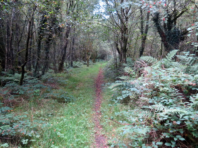
Llwybr i Fryn-tywarch / Path to Bryn-tywarch
Hen heol sy bellach yn llwybr yn mynd i gyfeiriad Bryn-tywarch.
An old road now downgraded to a path heads in the direction of Bryn-tywarch (trans. clod hill).
An old road now downgraded to a path heads in the direction of Bryn-tywarch (trans. clod hill).
 Map © Crown Copyright")
TIP: Click the map for more Large scale mapping
- Grid Square
- SN8426, 7 images (more nearby 🔍)
- Photographer
- Alan Richards (more nearby)
- Date Taken
- Friday, 3 September, 2021 (more nearby)
- Submitted
- Saturday, 4 September, 2021
- Subject Location
-
OSGB36:
 SN 8431 2652 [10m precision]
WGS84: 51:55.5084N 3:41.0288W - Camera Location
-
OSGB36: SN 8431 2649
- View Direction
- North-northwest (about 337 degrees)