2021
NT2322 : On the Ring of the Loch walk around St Mary's Loch
taken 3 years ago, near to Cappercleuch, Scottish Borders, Scotland
This is 1 of 2 images, with title On the Ring of the Loch walk around St Mary's Loch in this square
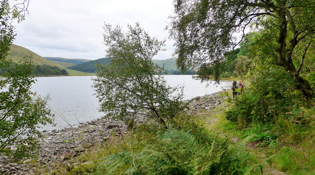
On the Ring of the Loch walk around St Mary's Loch
At this point the path follows the shore of the loch closely. If the water level is high walking on the road would be required. After the period of drought just experienced, this is not a problem here.
 Map © Crown Copyright")
TIP: Click the map for more Large scale mapping
- Grid Square
- NT2322, 15 images (more nearby 🔍)
- Photographer
- Gordon Brown (more nearby)
- Date Taken
- Saturday, 4 September, 2021 (more nearby)
- Submitted
- Monday, 6 September, 2021
- Subject Location
-
OSGB36:
 NT 2396 2203 [10m precision]
WGS84: 55:29.1681N 3:12.2912W - Camera Location
-
OSGB36: NT 2397 2207
- View Direction
- South-southwest (about 202 degrees)