2021
SS8778 : Countryside north of Merthyr Mawr from the Bridgend Circular Walk
taken 3 years ago, near to Laleston, Bridgend/Pen-y-Bont ar Ogwr, Wales
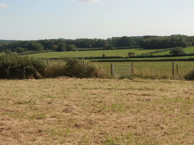
Countryside north of Merthyr Mawr from the Bridgend Circular Walk
Much of the farmland and woodland in this image lies in grid square SS8878.
There are a number of gates like the one seen in the foreground at field boundaries on the stretch of Bridgend Circular Walk between the A48 and Whitney Farm.
There are a number of gates like the one seen in the foreground at field boundaries on the stretch of Bridgend Circular Walk between the A48 and Whitney Farm.
 Map © Crown Copyright")
TIP: Click the map for more Large scale mapping
- Grid Square
- SS8778, 35 images (more nearby 🔍)
- Photographer
- eswales (more nearby)
- Date Taken
- Tuesday, 24 August, 2021 (more nearby)
- Submitted
- Tuesday, 7 September, 2021
- Subject Location
-
OSGB36:
 SS 879 786 [100m precision]
WGS84: 51:29.7612N 3:36.8960W - Camera Location
-
OSGB36: SS 878 789
- View Direction
- Southeast (about 135 degrees)