1999
SH6421 : Looking down Hirgwm
taken 25 years ago, 3 km from Caerdeon, Gwynedd, Wales
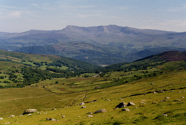
Looking down Hirgwm
With Cadair Idris on the horizon.
 Map © Crown Copyright")
TIP: Click the map for more Large scale mapping
- Grid Square
- SH6421, 17 images (more nearby 🔍)
- Photographer
- Nigel Brown (more nearby)
- Date Taken
- Tuesday, 27 July, 1999 (more nearby)
- Submitted
- Wednesday, 8 September, 2021
- Subject Location
-
OSGB36:
 SH 6497 2146 [10m precision]
WGS84: 52:46.4277N 4:0.1862W - Camera Location
-
OSGB36: SH 6490 2153
- View Direction
- Southeast (about 135 degrees)