2021
SN8028 : Mynediad i'r rhostir / Access to the moorland
taken 3 years ago, 3 km from Myddfai, Carmarthenshire/Sir Gaerfyrddin, Wales
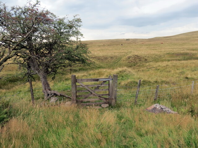
Mynediad i'r rhostir / Access to the moorland
Gât fach ger Pant Meddygon yn rhoi mynediad i'r rhostir.
A small gate near Pant Meddygon (trans. the physicians' hollow) giving access to the moorland.
A small gate near Pant Meddygon (trans. the physicians' hollow) giving access to the moorland.
 Map © Crown Copyright")
TIP: Click the map for more Large scale mapping
- Grid Square
- SN8028, 12 images (more nearby 🔍)
- Photographer
- Alan Richards (more nearby)
- Date Taken
- Wednesday, 8 September, 2021 (more nearby)
- Submitted
- Thursday, 9 September, 2021
- Subject Location
-
OSGB36:
 SN 8059 2872 [10m precision]
WGS84: 51:56.6474N 3:44.3189W - Camera Location
-
OSGB36: SN 8063 2870
- View Direction
- West-northwest (about 292 degrees)