2021
SP9330 : The A5 Watling Street, Sheeplane
taken 3 years ago, near to Potsgrove, Central Bedfordshire, England
This is 1 of 2 images, with title The A5 Watling Street, Sheeplane in this square
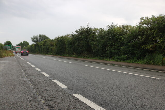
The A5 Watling Street, Sheeplane
 Map © Crown Copyright")
TIP: Click the map for more Large scale mapping
- Grid Square
- SP9330, 22 images (more nearby 🔍)
- Photographer
- David Howard (more nearby)
- Date Taken
- Sunday, 22 August, 2021 (more nearby)
- Submitted
- Friday, 10 September, 2021
- Subject Location
-
OSGB36:
 SP 9306 3056 [10m precision]
WGS84: 51:57.9443N 0:38.8135W - Camera Location
-
OSGB36: SP 9305 3058
- View Direction
- South-southeast (about 157 degrees)