2021
TQ3096 : Salmons Brook, Enfield
taken 3 years ago, near to Cockfosters, Enfield, England
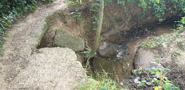
Salmons Brook, Enfield
Seen from the Merryhills Way path.
 Map © Crown Copyright")
TIP: Click the map for more Large scale mapping
- Grid Square
- TQ3096, 285 images (more nearby 🔍)
- Photographer
- Christine Matthews (more nearby)
- Date Taken
- Saturday, 21 August, 2021 (more nearby)
- Submitted
- Friday, 10 September, 2021
- Subject Location
-
OSGB36:
 TQ 3000 9685 [10m precision]
WGS84: 51:39.3248N 0:7.3273W - Camera Location
-
OSGB36: TQ 3001 9683
- View Direction
- North-northwest (about 337 degrees)