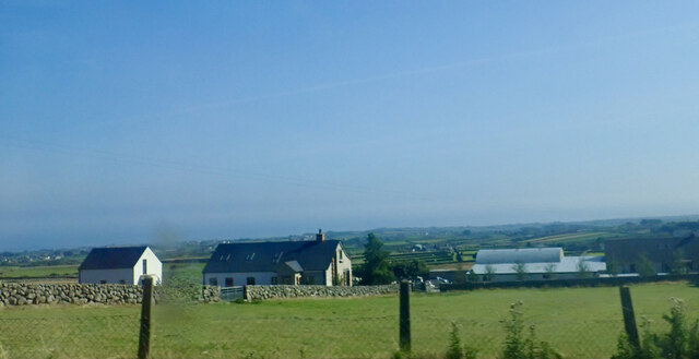
J3221 : Farmhouse and out buildings at the upper end of Brackenagh East Road
taken 3 years ago, 5 km NNW of Ballymartin, Co Down, Northern Ireland
![Creative Commons Licence [Some Rights Reserved]](https://s1.geograph.org.uk/img/somerights20.gif)
|
· Find out How to reuse this image ·
Share:
|
|||||
| Start a discussion on J3221 | Suggest an update to this image | Contact the contributor | |||
Loading map... (JavaScript required)
- Grid Square
- J3221, 26 images (more nearby
 )
)
- Photographer
- Eric Jones (find more nearby)
- Date Taken
- Tuesday, 24 August, 2021 (more nearby)
- Submitted
- Tuesday, 14 September, 2021
- Geographical Context
- Subject Location
-
Irish:
 J 324 210 [100m precision]
WGS84: 54:7.2900N 5:58.4896W - Camera Location
-
Irish: J 324 211
- View Direction
- SOUTH (about 180 degrees)
This page has been viewed about 11 times.
View this location:
KML (Google Earth) ·
Google Maps ·
Bing Maps ·
Geograph Coverage Map ·
More Links for this image
·
Bing Maps ·
Geograph Coverage Map ·
More Links for this image