2021
NS9862 : Cuthill Crescent, Stoneyburn
taken 3 years ago, near to Loganlea, West Lothian, Scotland
This is 1 of 3 images, with title Cuthill Crescent, Stoneyburn in this square
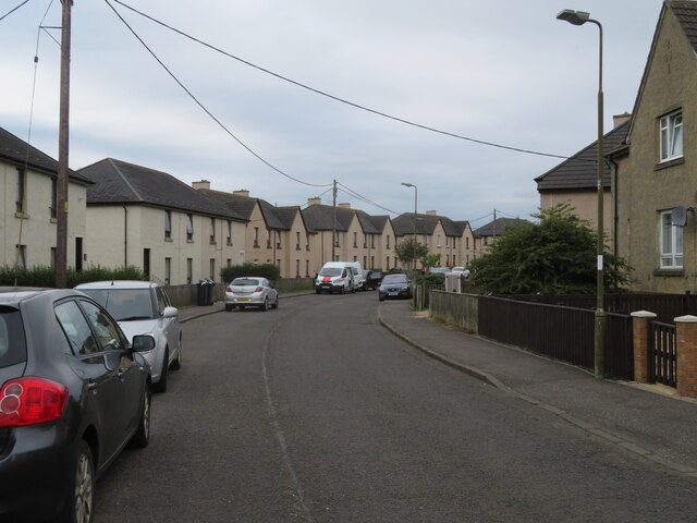
Cuthill Crescent, Stoneyburn
A small housing estate at the eastern edge of Stoneyburn in the Breich Valley.
 Map © Crown Copyright")
TIP: Click the map for more Large scale mapping
- Grid Square
- NS9862, 46 images (more nearby 🔍)
- Photographer
- M J Richardson (more nearby)
- Date Taken
- Monday, 13 September, 2021 (more nearby)
- Submitted
- Wednesday, 15 September, 2021
- Subject Location
-
OSGB36:
 NS 9827 6276 [10m precision]
WGS84: 55:50.8369N 3:37.5800W - Camera Location
-
OSGB36: NS 9831 6278
- View Direction
- West-southwest (about 247 degrees)