2021
SS8779 : A field on the Bridgend Circular Walk, Laleston
taken 3 years ago, near to Laleston, Bridgend/Pen-y-Bont ar Ogwr, Wales
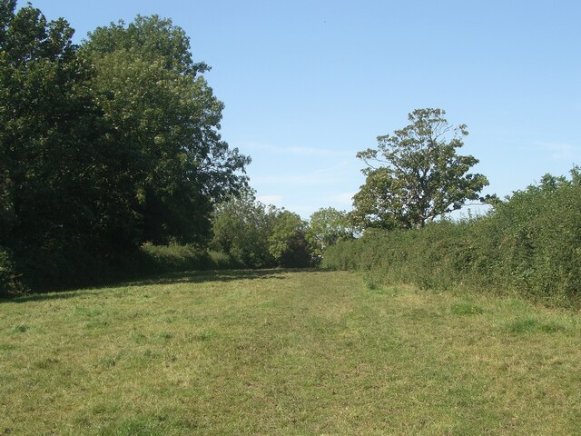
A field on the Bridgend Circular Walk, Laleston
When walking northwards on the Bridgend Circular Walk, this is the last field passed through before the A473 in Laleston is reached. There are some fine mature deciduous trees on its western boundary.
SS8779 : A field with a footpath at Laleston looks in the opposite direction along some of the field.
SS8779 : A field with a footpath at Laleston looks in the opposite direction along some of the field.
 Map © Crown Copyright")
TIP: Click the map for more Large scale mapping
- Grid Square
- SS8779, 103 images (more nearby 🔍)
- Photographer
- eswales (more nearby)
- Date Taken
- Tuesday, 24 August, 2021 (more nearby)
- Submitted
- Wednesday, 15 September, 2021
- Subject Location
-
OSGB36:
 SS 877 797 [100m precision]
WGS84: 51:30.3138N 3:37.1230W - Camera Location
-
OSGB36: SS 878 796
- View Direction
- Northwest (about 315 degrees)