2021
NZ3731 : Salter's Lane
taken 3 years ago, near to Fishburn, County Durham, England
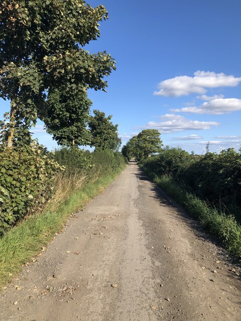
Salter's Lane
The lane provides access to Humble Knowle Farm, and is also a bridleway that extends beyond the farm.
 Map © Crown Copyright")
TIP: Click the map for more Large scale mapping
- Grid Square
- NZ3731, 11 images (more nearby 🔍)
- Photographer
- David Robinson (more nearby)
- Date Taken
- Thursday, 16 September, 2021 (more nearby)
- Submitted
- Thursday, 16 September, 2021
- Subject Location
-
OSGB36:
 NZ 3757 3174 [10m precision]
WGS84: 54:40.7595N 1:25.1310W - Camera Location
-
OSGB36: NZ 37468 31726
- View Direction
- EAST (about 90 degrees)