2021
SD1799 : Closed footbridge over Stanley Ghyll
taken 3 years ago, near to Beckfoot, Cumbria, England
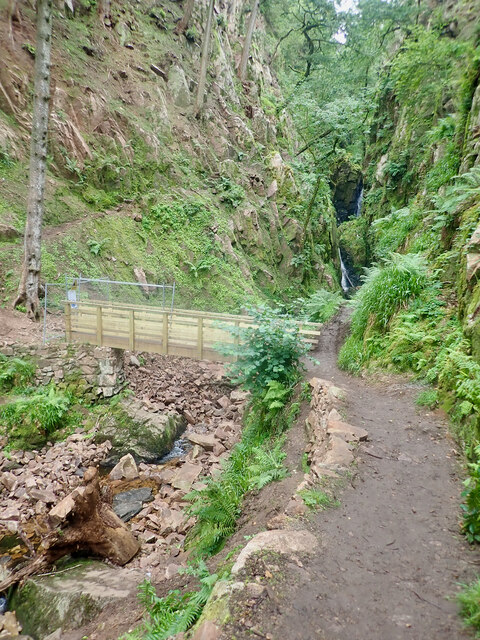
Closed footbridge over Stanley Ghyll
 Map © Crown Copyright")
TIP: Click the map for more Large scale mapping
- Grid Square
- SD1799, 83 images (more nearby 🔍)
- Photographer
- Mick Garratt (more nearby)
- Date Taken
- Friday, 10 September, 2021 (more nearby)
- Submitted
- Tuesday, 21 September, 2021
- Subject Location
-
OSGB36:
 SD 1742 9958 [10m precision]
WGS84: 54:23.0992N 3:16.3844W - Camera Location
-
OSGB36: SD 1739 9963
- View Direction
- South-southeast (about 157 degrees)