2021
TQ5103 : Comp Lane
taken 3 years ago, near to Alfriston, East Sussex, England
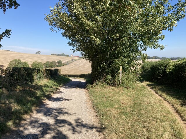
Comp Lane
Comp Lane at the turning for the footpath across the fields to Berwick village. Comp Lane formerly was the main road between Lewes and Alfriston, later eclipsed by the turnpike (now the A27). In the distance can be seen Comp Barn.
 Map © Crown Copyright")
TIP: Click the map for more Large scale mapping
- Grid Square
- TQ5103, 146 images (more nearby 🔍)
- Photographer
- Hugh Craddock (more nearby)
- Date Taken
- Wednesday, 8 September, 2021 (more nearby)
- Submitted
- Tuesday, 21 September, 2021
- Subject Location
-
OSGB36:
 TQ 5169 0391 [10m precision]
WGS84: 50:48.8928N 0:9.1126E - Camera Location
-
OSGB36: TQ 51732 03855
- View Direction
- North-northwest (about 337 degrees)