2021
NO2401 : Walkerton Drive, Leslie
taken 3 years ago, near to Leslie, Fife, Scotland
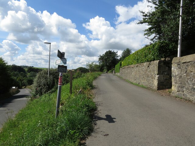
Walkerton Drive, Leslie
There is an Ordnance Survey benchmark on this wall. See NO2401 : Benchmark on wall, Walkerton Drive, Leslie.
 Map © Crown Copyright")
TIP: Click the map for more Large scale mapping
- Grid Square
- NO2401, 30 images (more nearby 🔍)
- Photographer
- Becky Williamson (more nearby)
- Date Taken
- Tuesday, 10 August, 2021 (more nearby)
- Submitted
- Wednesday, 29 September, 2021
- Subject Location
-
OSGB36:
 NO 2422 0129 [10m precision]
WGS84: 56:11.8896N 3:13.3736W - Camera Location
-
OSGB36: NO 24250 01290
- View Direction
- West-northwest (about 292 degrees)