2021
NZ0646 : Stone wall beside the Waskerley Way
taken 3 years ago, near to Healeyfield, County Durham, England
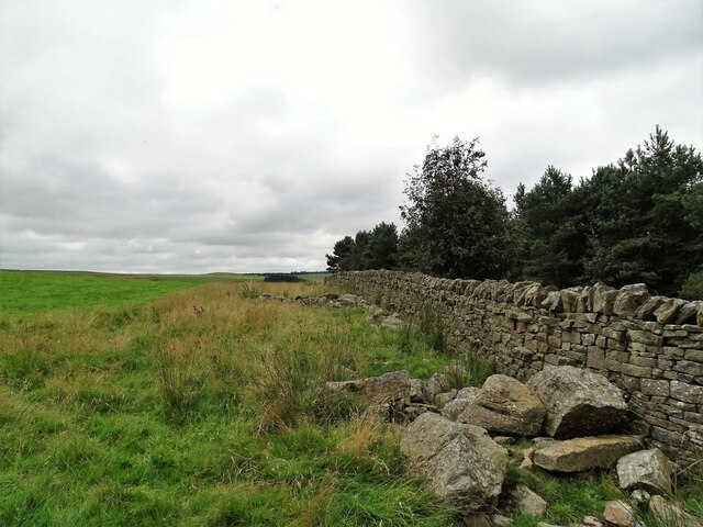
Stone wall beside the Waskerley Way
Old drystone wall on the east side of the former railway line. This section of the line, and the wall presumably, was built in the 1860's.
 Map © Crown Copyright")
TIP: Click the map for more Large scale mapping
- Grid Square
- NZ0646, 57 images (more nearby 🔍)
- Photographer
- Robert Graham (more nearby)
- Date Taken
- Monday, 23 August, 2021 (more nearby)
- Submitted
- Thursday, 30 September, 2021
- Subject Location
-
OSGB36:
 NZ 0681 4643 [10m precision]
WGS84: 54:48.7611N 1:53.7337W - Camera Location
-
OSGB36: NZ 0687 4652
- View Direction
- South-southwest (about 202 degrees)