2021
NR8254 : Moorland Plateau
taken 3 years ago, 3 km from Crossaig, Argyll And Bute, Scotland
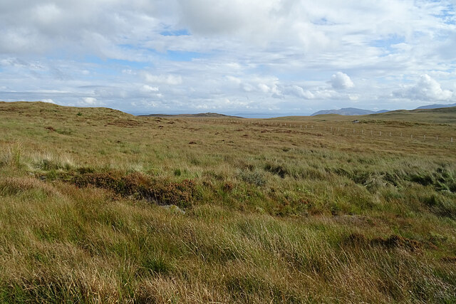
Moorland Plateau
This flattish area of grassy moorland is about 200 metres above sea level, so not a very elevated plateau.
 Map © Crown Copyright")
TIP: Click the map for more Large scale mapping
- Grid Square
- NR8254, 20 images (more nearby 🔍)
- Photographer
- Anne Burgess (more nearby)
- Date Taken
- Tuesday, 28 September, 2021 (more nearby)
- Submitted
- Tuesday, 5 October, 2021
- Subject Location
-
OSGB36:
 NR 8209 5438 [10m precision]
WGS84: 55:44.0191N 5:28.3418W - Camera Location
-
OSGB36: NR 8179 5536
- View Direction
- South-southeast (about 157 degrees)