2021
SP3763 : HS2 enabling works, Welsh Road area, September 2021 (12)
taken 3 years ago, near to Ufton, Warwickshire, England
HS2 enabling works, Welsh Road area, September 2021 (12)
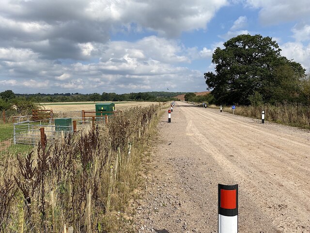
Shiny new power supply boxes sit beside Ridgeway Lane. From Western Power Distribution, the larger one is identified as 'Longhole Bridge Padmount 939729'. Ridgeway Lane is shown on the 2015 OS Explorer map as 'Other route with public access'. Most of it has been widened and surfaced with stone to serve as a haul road to and from the big HS2 contractor's compound off Welsh Road, avoiding a crossing of the Grand Union Canal SP3863 : HS2 enabling works, Welsh Road area, September 2021 (29). The unaltered stretch crosses the canal at Longhole Bridge SP3863 : HS2 enabling works, Welsh Road area, April 2021 (14). Haul wagons join A425 through Ufton village.
See other images of HS2, Welsh Road corridor
 Map © Crown Copyright")
TIP: Click the map for more Large scale mapping
- Grid Square
- SP3763, 40 images (more nearby 🔍)
- Photographer
- Robin Stott (more nearby)
- Date Taken
- Saturday, 18 September, 2021 (more nearby)
- Submitted
- Friday, 8 October, 2021
- Subject Location
-
OSGB36:
 SP 378 633 [100m precision]
WGS84: 52:16.0369N 1:26.7894W - Camera Location
-
OSGB36: SP 378 633
- View Direction
- North-northeast (about 22 degrees)