2021
SN5881 : Bilingual road junction markings, Aberystwyth
taken 3 years ago, near to Aberystwyth, Ceredigion/Sir Ceredigion, Wales
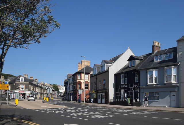
Bilingual road junction markings, Aberystwyth
 Map © Crown Copyright")
TIP: Click the map for more Large scale mapping
- Grid Square
- SN5881, 3084 images (more nearby 🔍)
- Photographer
- Bill Harrison (more nearby)
- Date Taken
- Sunday, 18 July, 2021 (more nearby)
- Submitted
- Friday, 8 October, 2021
- Subject Location
-
OSGB36:
 SN 5861 8183 [10m precision]
WGS84: 52:24.9683N 4:4.8225W - Camera Location
-
OSGB36: SN 5860 8187
- View Direction
- South-southeast (about 157 degrees)