TL9290 : Looking from Woodcock Road onto the A1075
taken 3 years ago, near to Stonebridge, Norfolk, England
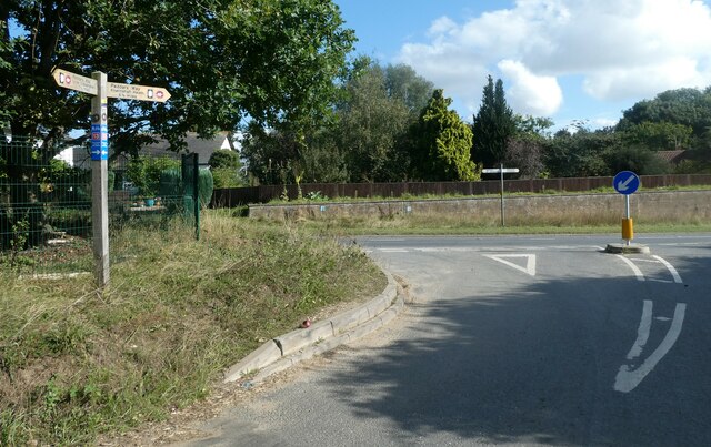
The Peddars Way is a long distance footpath in Norfolk. It is 46 miles long and follows the route of a Roman road. It has been suggested by more than one writer that it was not created by the Romans but was an ancient trackway, a branch or extension of the Icknield Way, used and remodelled by the Romans. The name is said to be derived from the Latin pedester on foot. It starts at Knettishall Heath in Suffolk (near the Norfolk-Suffolk border, about 4 miles east of Thetford), and it links with the Norfolk Coast Path at Holme-next-the-Sea.
Combined with the Norfolk Coast Path, it forms the Peddars Way & Norfolk Coast Path National Trail, one of 15 National Trails in England and Wales, and the two paths together run for 97 miles.
Wikipedia: Link
 Map © Crown Copyright")
- Grid Square
- TL9290, 47 images (more nearby 🔍)
- Photographer
- Basher Eyre (more nearby)
- Date Taken
- Saturday, 25 September, 2021 (more nearby)
- Submitted
- Saturday, 9 October, 2021
- Subject Location
-
OSGB36:
 TL 9267 9085 [10m precision]
WGS84: 52:28.8929N 0:50.1517E - Camera Location
-
OSGB36: TL 9266 9087
- View Direction
- South-southeast (about 157 degrees)