2021
NY2016 : Path on Robinson
taken 3 years ago, 3 km from Buttermere, Cumbria, England
This is 1 of 2 images, with title Path on Robinson in this square
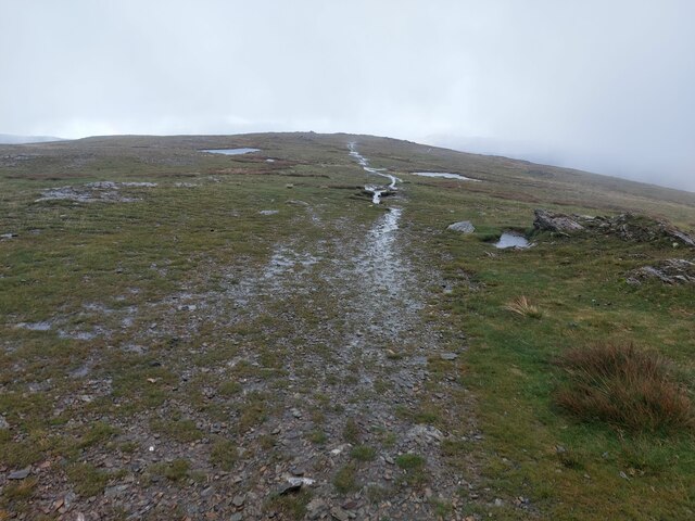
Path on Robinson
Looking north from the summit of Robinson, the path heads off along a ridge down into Littledale.
 Map © Crown Copyright")
TIP: Click the map for more Large scale mapping
- Grid Square
- NY2016, 62 images (more nearby 🔍)
- Photographer
- Graham Robson (more nearby)
- Date Taken
- Sunday, 3 October, 2021 (more nearby)
- Submitted
- Saturday, 9 October, 2021
- Subject Location
-
OSGB36:
 NY 202 169 [100m precision]
WGS84: 54:32.4632N 3:14.0696W - Camera Location
-
OSGB36: NY 201 168
- View Direction
- East-northeast (about 67 degrees)