2021
SK7989 : A631 The Flood Road
taken 3 years ago, near to Saundby, Nottinghamshire, England
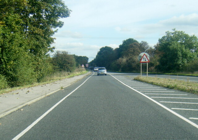
A631 The Flood Road
 Map © Crown Copyright")
TIP: Click the map for more Large scale mapping
- Grid Square
- SK7989, 15 images (more nearby 🔍)
- Photographer
- Colin Pyle (more nearby)
- Date Taken
- Sunday, 10 October, 2021 (more nearby)
- Submitted
- Friday, 15 October, 2021
- Subject Location
-
OSGB36:
 SK 7961 8919 [10m precision]
WGS84: 53:23.6131N 0:48.2584W - Camera Location
-
OSGB36: SK 7953 8920
- View Direction
- EAST (about 90 degrees)