2021
NN8301 : Old Wharry Burn
taken 3 years ago, 4 km SSE of Balhaldie, Stirling, Scotland
This is 1 of 2 images, with title Old Wharry Burn in this square
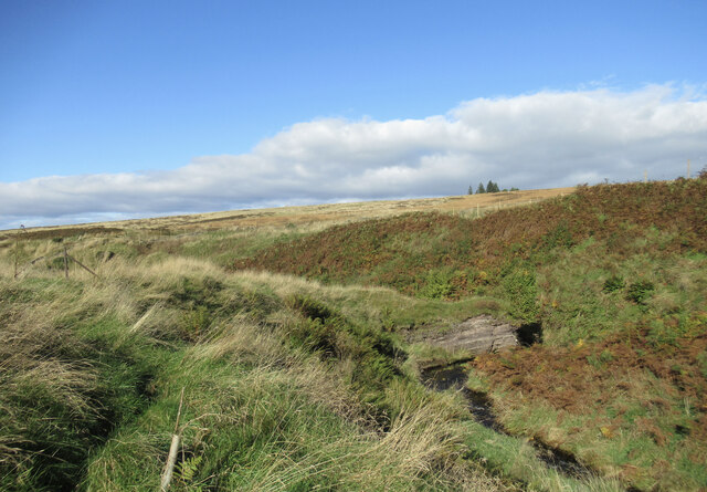
Old Wharry Burn
A small outcrop on the banks of this burn, which flows down from the Ochil Hills into the Allan Water.
 Map © Crown Copyright")
TIP: Click the map for more Large scale mapping
- Grid Square
- NN8301, 10 images (more nearby 🔍)
- Photographer
- Alan O'Dowd (more nearby)
- Date Taken
- Friday, 15 October, 2021 (more nearby)
- Submitted
- Saturday, 16 October, 2021
- Subject Location
-
OSGB36:
 NN 8346 0197 [10m precision]
WGS84: 56:11.7617N 3:52.7862W - Camera Location
-
OSGB36: NN 8348 0195
- View Direction
- Northwest (about 315 degrees)