2021
SO5190 : Road above Lilywood
taken 3 years ago, near to Rushbury, Shropshire, England
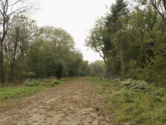
Road above Lilywood
Running along the edge of the Wenlock Edge scarp.
 Map © Crown Copyright")
TIP: Click the map for more Large scale mapping
- Grid Square
- SO5190, 29 images (more nearby 🔍)
- Photographer
- Richard Webb (more nearby)
- Date Taken
- Saturday, 16 October, 2021 (more nearby)
- Submitted
- Saturday, 16 October, 2021
- Subject Location
-
OSGB36:
 SO 5129 9055 [10m precision]
WGS84: 52:30.6391N 2:43.1487W - Camera Location
-
OSGB36: SO 5129 9057
- View Direction
- South-southwest (about 202 degrees)