2021
SE5952 : Riverside near Scarborough Bridge
taken 3 years ago, near to York, England
This is 1 of 2 images, with title Riverside near Scarborough Bridge in this square
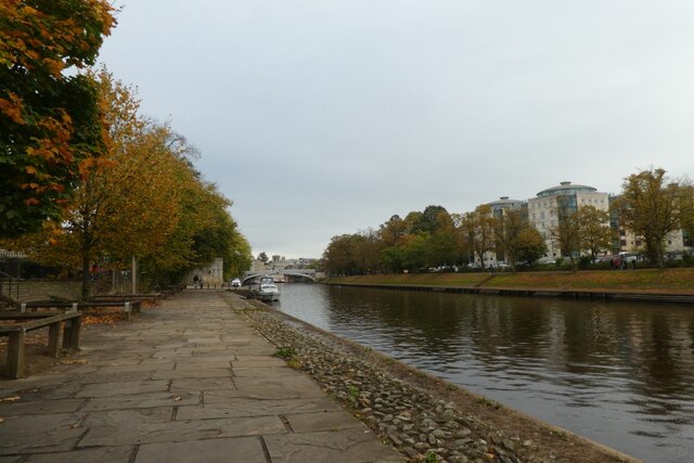
Riverside near Scarborough Bridge
Looking downstream along the River Ouse.
River Ouse (Yorkshire)
The River Ouse is formed by the junction of the River Ure and River Swale. The river flows south through York to its junction with the River Trent, where it becomes the Humber. Total length of the river is 52 miles (100 miles for the combined Ouse/Ure). The Ouse's tributaries (which includes the Derwent, Aire, Don, Wharfe, Rother, Nidd, Swale, Ure, and Foss) drains a large upland area of Northern England, including much of the Yorkshire Dales and North York Moors.
Wikipedia: Link
 Map © Crown Copyright")
TIP: Click the map for more Large scale mapping
- Grid Square
- SE5952, 1035 images (more nearby 🔍)
- Photographer
- DS Pugh (more nearby)
- Date Taken
- Sunday, 17 October, 2021 (more nearby)
- Submitted
- Monday, 18 October, 2021
- Subject Location
-
OSGB36:
 SE 5968 5206 [10m precision]
WGS84: 53:57.6714N 1:5.5136W - Camera Location
-
OSGB36: SE 59661 52077
- View Direction
- East-southeast (about 112 degrees)