2021
SJ8458 : Rich Cheshire loam
taken 3 years ago, near to Mow Cop, Staffordshire, England
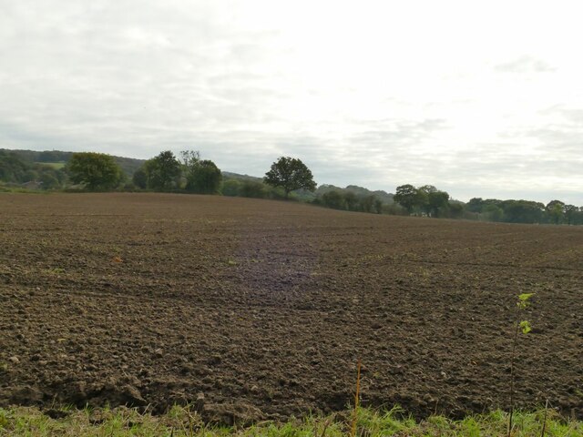
Rich Cheshire loam
This field marks effectively the eastern edge of the fertile Cheshire Plain as the land starts to rise into the Staffordshire Hills.
 Map © Crown Copyright")
TIP: Click the map for more Large scale mapping
- Grid Square
- SJ8458, 76 images (more nearby 🔍)
- Photographer
- Stephen Craven (more nearby)
- Date Taken
- Saturday, 16 October, 2021 (more nearby)
- Submitted
- Tuesday, 19 October, 2021
- Subject Location
-
OSGB36:
 SJ 8492 5883 [10m precision]
WGS84: 53:7.5853N 2:13.6086W - Camera Location
-
OSGB36: SJ 8493 5890
- View Direction
- SOUTH (about 180 degrees)