2021
SJ8558 : Field entrance near Wood Farm
taken 3 years ago, near to Mow Cop, Staffordshire, England
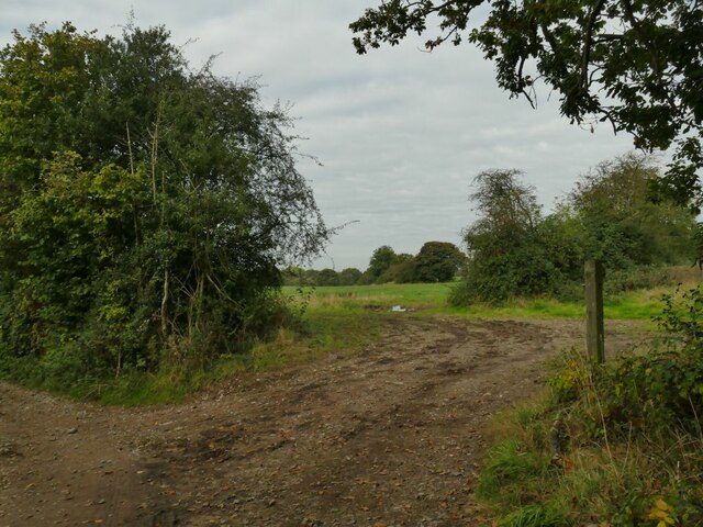
Field entrance near Wood Farm
The path to the left is the South Cheshire Way; there's no right of way across the fields straight ahead.
South Cheshire Way
The South Cheshire Way is a long-distance footpath which runs for 34 miles from its starting point at the Llangollen branch of the Shropshire Union Canal at Grindley Brook to Mow Cop. (Text: Sue Adair)
 Map © Crown Copyright")
TIP: Click the map for more Large scale mapping
- Grid Square
- SJ8558, 23 images (more nearby 🔍)
- Photographer
- Stephen Craven (more nearby)
- Date Taken
- Saturday, 16 October, 2021 (more nearby)
- Submitted
- Tuesday, 19 October, 2021
- Subject Location
-
OSGB36:
 SJ 8523 5877 [10m precision]
WGS84: 53:7.5534N 2:13.3305W - Camera Location
-
OSGB36: SJ 8523 5875
- View Direction
- NORTH (about 0 degrees)