2021
NS6841 : East Cauldcoats farmland
taken 2 years ago, 3 km from Caldermill, South Lanarkshire, Scotland
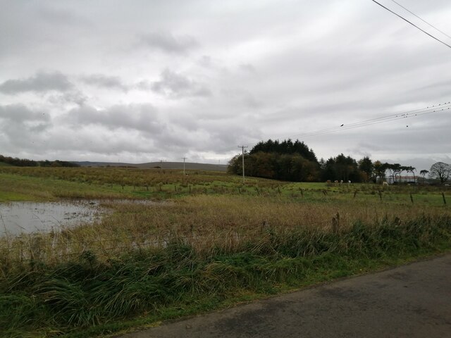
East Cauldcoats farmland
Looking uphill, in the general Dungavel direction, across the farmland just east of East Cauldcoats farm.
 Map © Crown Copyright")
TIP: Click the map for more Large scale mapping
- Grid Square
- NS6841, 12 images (more nearby 🔍)
- Photographer
- Alec MacKinnon (more nearby)
- Date Taken
- Monday, 1 November, 2021 (more nearby)
- Submitted
- Wednesday, 3 November, 2021
- Subject Location
-
OSGB36:
 NS 6883 4111 [10m precision]
WGS84: 55:38.7464N 4:5.1488W - Camera Location
-
OSGB36: NS 6884 4146
- View Direction
- SOUTH (about 180 degrees)