2000
SH5466 : Wetland at Llanddeiniolen
taken 24 years ago, near to Llanddeiniolen, Gwynedd, Wales
This is 1 of 2 images, with title Wetland at Llanddeiniolen in this square
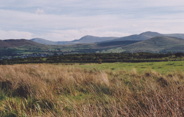
Wetland at Llanddeiniolen
The Carneddau form the background.
 Map © Crown Copyright")
TIP: Click the map for more Large scale mapping
- Grid Square
- SH5466, 35 images (more nearby 🔍)
- Photographer
- Eric Jones (more nearby)
- Date Taken
- Wednesday, 4 October, 2000 (more nearby)
- Submitted
- Thursday, 4 November, 2021
- Subject Location
-
OSGB36:
 SH 546 661 [100m precision]
WGS84: 53:10.3582N 4:10.5904W - Camera Location
-
OSGB36: SH 545 661
- View Direction
- East-southeast (about 112 degrees)